

← All courses
Surveying, Mapping & GIS · Draft
Drone Based Mapping
Plan, fly and process mapping missions, from ground control to deliverable outputs.
What's covered
Indicative course content
- 01Mission planning for mapping flights
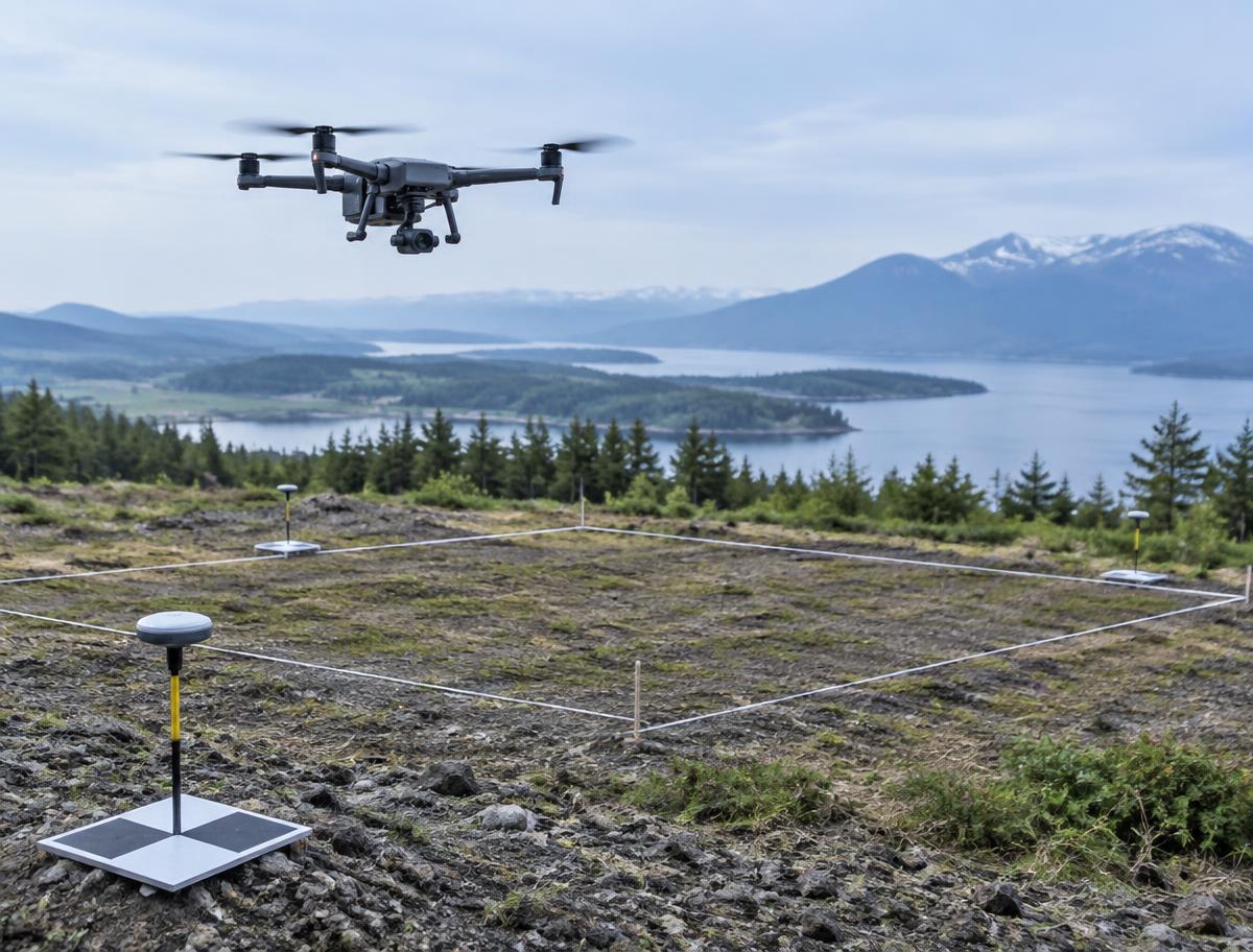
- 02Ground control points and accuracy
- 03Photogrammetry processing
- 04Orthomosaics, elevation models and GIS outputs
Who it's for
- Surveying and civil engineering learners
- GIS and planning professionals
- Drone pilots moving into mapping work
Syllabus, duration, format, fees and batch dates are drafts and will be confirmed by Kyoten. Please enquire for current details.