Surveying, Mapping & GISDraft
Drone Based Mapping
Plan, fly and process mapping missions, from ground control to deliverable outputs.
- Duration
- To be confirmed
- Fees
- Enquire for Fees




Drone Applications & Specialisation Academy
Explore specialised drone training built around real-world applications, practical skills, and the professional journeys you want to pursue.
Five application areas, each grounded in the way drones are actually used in the field.
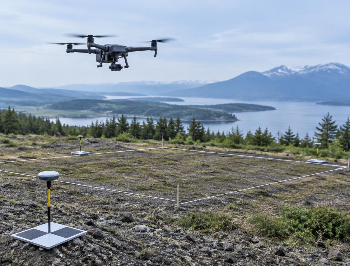
Flight planning, ground control, photogrammetry and the GIS workflows behind accurate site data.
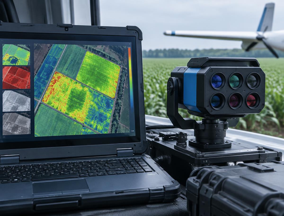
Spraying operations, field planning and the practical handling of agricultural drone systems.

Sensor selection, spectral indices and the interpretation of crop and vegetation data.
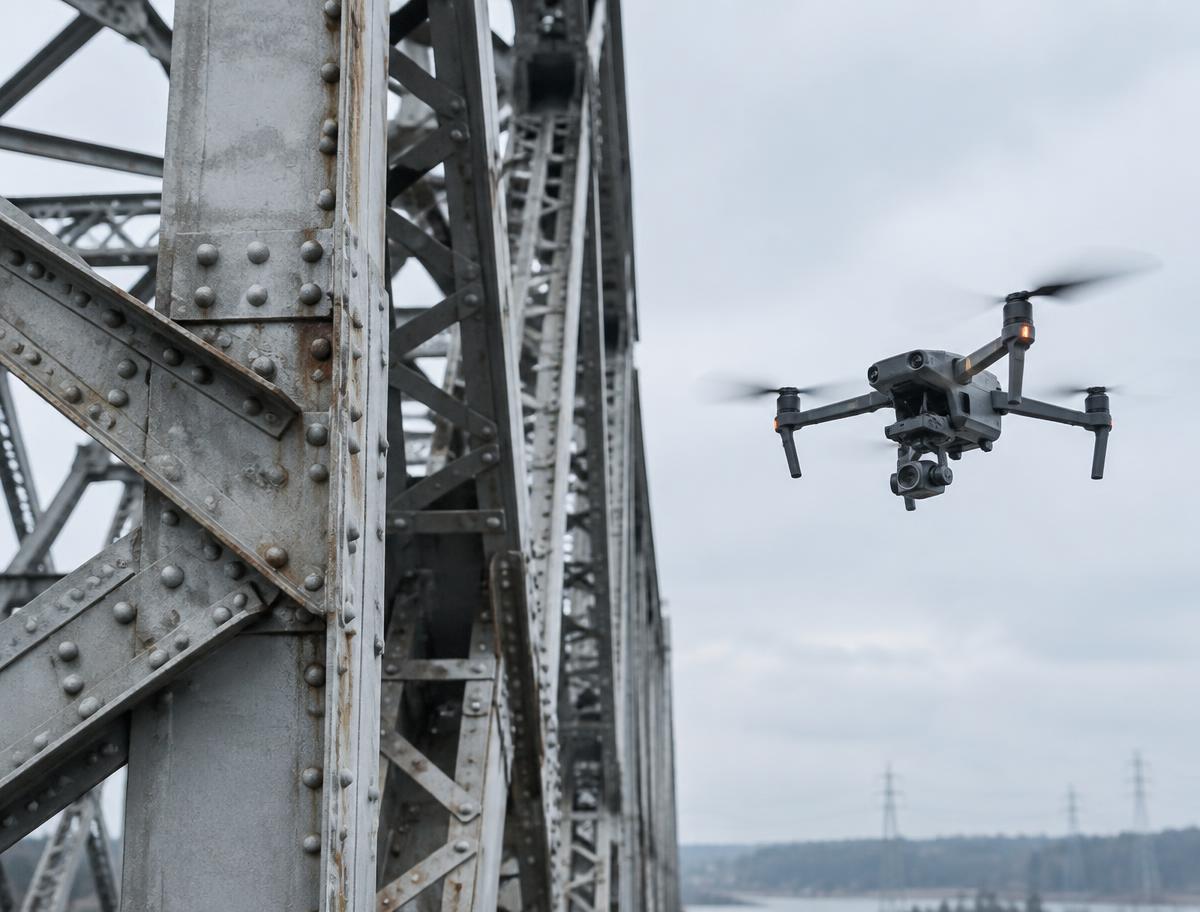
Close-range inspection technique, structured capture and reporting for built assets.
Camera craft, movement design and post-production for considered aerial imagery.
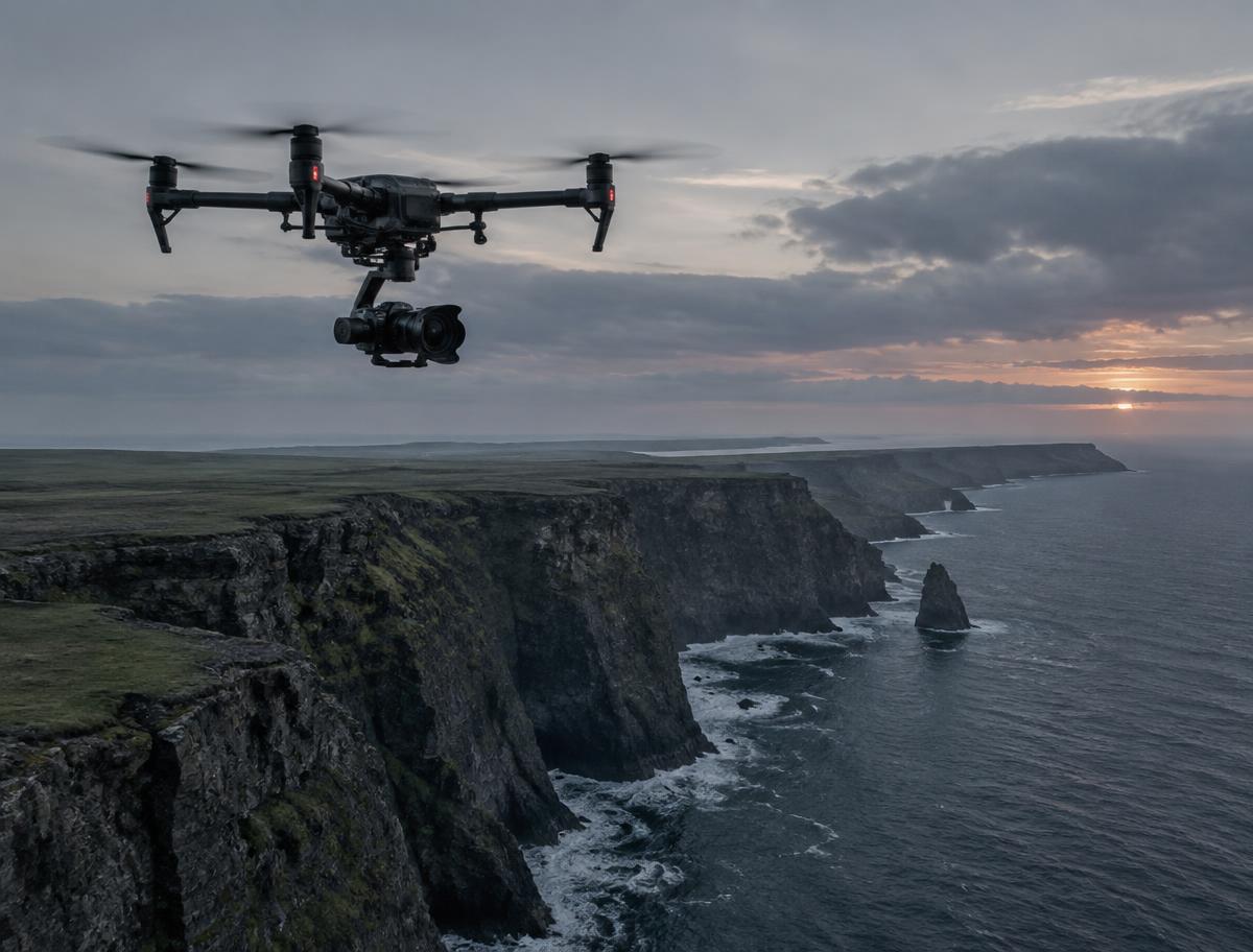
Imagery shown is placeholder material pending approved Kyoten photography.
Short, focused courses built around a single application. Course details below are draft content while the catalogue is finalised.
Plan, fly and process mapping missions, from ground control to deliverable outputs.
Operate agricultural drone systems and apply them to real field requirements.
Structured inspection technique, safe close-range flight and clear reporting practice.
Camera settings, movement design and edit-ready aerial footage for media work.
Individual short-term courses are designed to connect. A pathway sequences them so foundational flying skills progress into applied, data-driven work within a chosen specialisation.
Airframe handling, planning discipline and safe operating practice.
Apply drone operations to mapping, agriculture, inspection or media work.
Processing, analysis and deliverables that make the flight useful.
Guided Course Finder
Answer three short questions about your application area, experience and goal. The finder recommends courses from the published catalogue.
Find My CourseQuestion 1 of 3
What would you like to do with drones?
The application areas our training is built around, shown with selected imagery pending approved Kyoten photography.
Institutional Training
Customised drone application training, faculty and research collaboration, and corporate skill programmes, scoped around your requirements.